South
Cotswold Soaring Association: North Nibley
North Nibley:not a registered model flying siteDirections:between Dursley and Wotton Under Edge Streetmap park near the pubOS X (Eastings) 373500 OS Y (Northings) 195500 Nearest Post Code GL11 6DL Lat (WGS84) N51:39:28 (51.657655) Long (WGS84) W2:23:04 (-2.384485) Lat,Long 51.657655,-2.384485 Nat Grid ST735955 / ST7350095500 mX -265439 mY 6704925 Mapcode GBR 0M5.3YR For SW and W winds Park near the Black Horse and walk up the steep hill to the Tyndale Monument 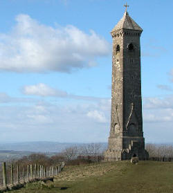
Photo From Alamy |